Géographie
Le Mont Vema (le Royaume du Mont Vema) est situé dans l'océan Atlantique sud (région du sud-est), à environ 1 600 kilomètres de Tristan da Cunha (Royaume-Uni) et à environ 1 000 kilomètres au nord-ouest de Cape Town (Afrique du Sud).
Coordonnées :
31°38′S 8°20′E
31.633°S 8.333°E
31°38′S 8°20′E
31.633°S 8.333°E
Terrain
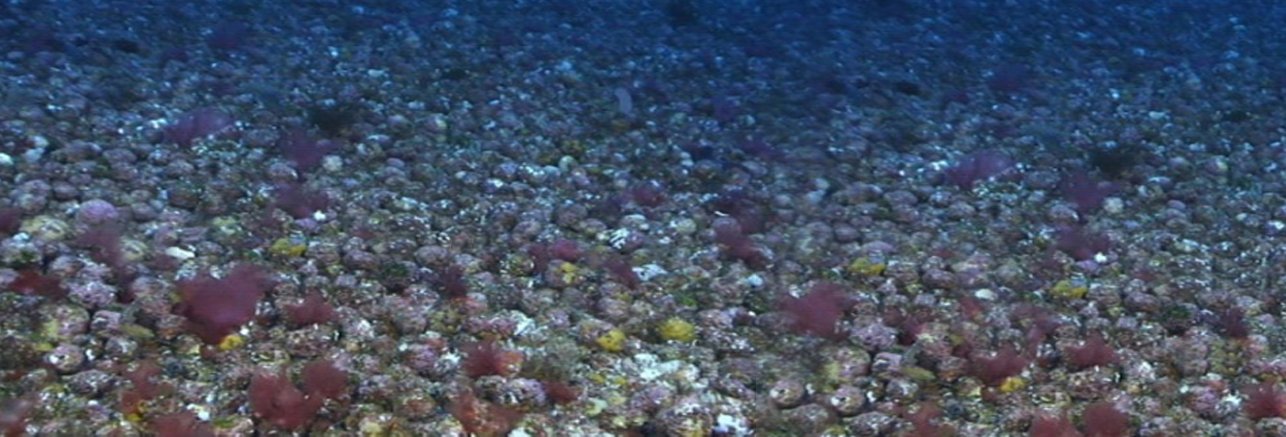
Le substrat du sommet du Vema Seamount est rocheux, avec des affleurements de phonolites, un socle rocheux d'agglomérats de cendres volcaniques et des accrétions calcaires.
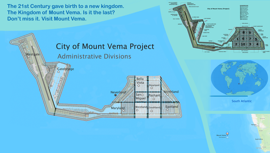
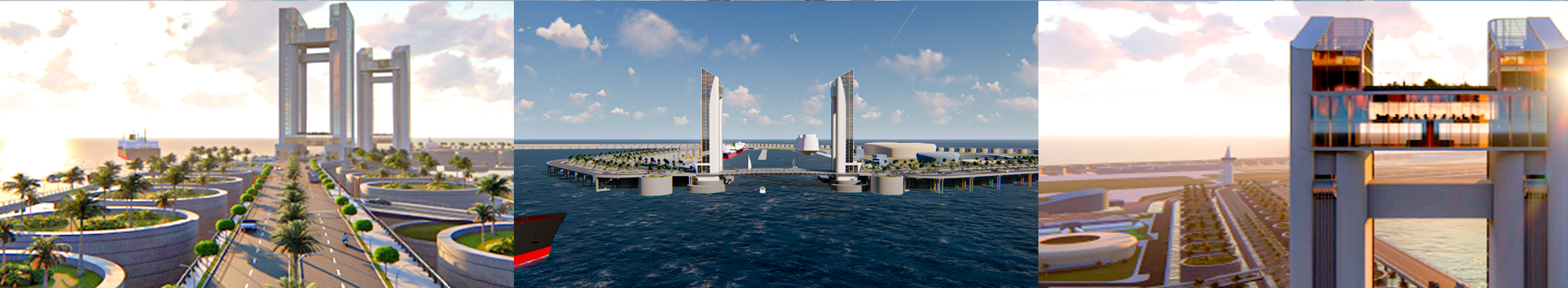
Superficie : Le sommet en forme de plateau du mont sous-marin mesure environ 14 kilomètres de diamètre, le plus haut sommet étant situé sur le flanc sud de l'île. Cependant, le diamètre moyen à la base du pays est d'environ 60 kilomètres.
Terrain : environ 5 % des terres seront récupérées dans le cadre du réseau de barrières en béton pour protéger la ville flottante et les infrastructures clés de la force destructrice du vent et des vagues de l'Atlantique Sud.
Superficie - Comparatif : La ville flottante du Mont Vema fera environ 8,73 kilomètres carrés. Il sera plus grand que d'autres petits États souverains tels que la Cité du Vatican du Saint-Siège ou la Principauté de Monaco. Mais si l'on inclut ses eaux territoriales (200 miles nautiques), alors le mont Vema est aussi plus grand que la République de Saint-Marin ou la Principauté du Liechtenstein.
No weapon formed against you shall prosper, And every tongue which rises against you in judgment you shall condemn. This is the heritage of the servants of the LORD, "And their righteousness is from Me," Says the LORD. Isaiah 54:17
MOUNT VEMA
17 YEARS OF ROYAL HISTORY
Home | Contact | News | Banking | Currency | Shopping | Freight | Travel | Jobs | Real Estate | Weather | Search | 912 Emergencies | LOG IN


The Legal Entities of Mount Vema

|
COUNTRY
|
COUNTRY CODE
COUNTRY CODES IN USE Mount Vema Country Code: OV / MOV Mount Vema Numeric Country Code: 507 Currency Code: VSG Top-Level Domain: .com, and .ov (proposed) Proposed Telephone Country Code: +294 |
|
International Treaties – Ratified by the Kingdom of Mount Vema
Law of the Sea Treaty (United Nations Convention on the Law of the Sea) MARPOL 73/78 (Convention for the Prevention of Pollution from Ships) The Vienna Convention on Diplomatic Relations of 1961 The Vienna Convention on Consular Relations 1963 |
State Alert! – Security, Public Safety and Emergencies
YELLOW WARNING official advise to be aware. >>>
AMBER WARNING official advise to be prepared. >>>
RED WARNING official advise to take action as instructed by the emergency services. >>>
AMBER WARNING official advise to be prepared. >>>
RED WARNING official advise to take action as instructed by the emergency services. >>>