Geografía
Mount Vema (El Reino de Mount Vema) está ubicado en el Océano Atlántico Sur (Región Sudeste), a unos 1.600 kilómetros de Tristan da Cunha (Reino Unido) y unos 1.000 kilómetros al noroeste de Ciudad del Cabo (Sudáfrica).
Coordenadas:
31°38′S 8°20′E
31.633°S 8.333°E
31°38′S 8°20′E
31.633°S 8.333°E
Terreno
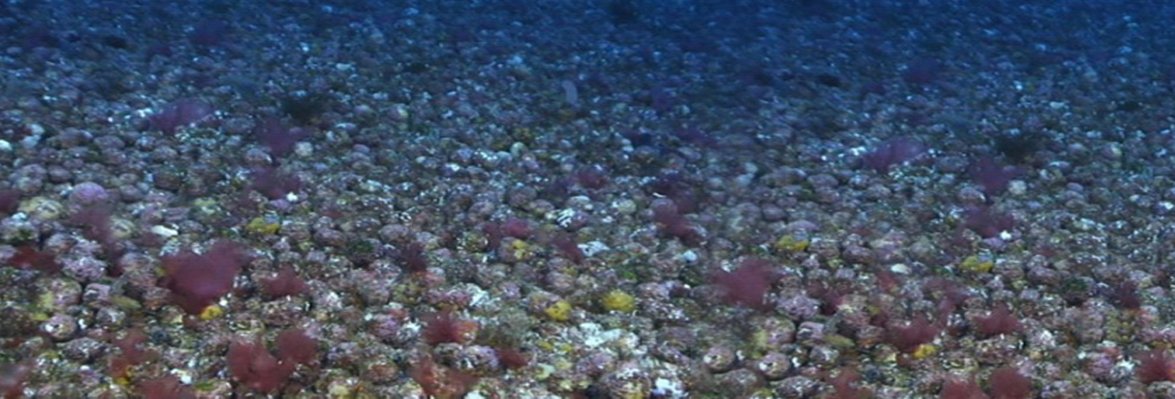
El sustrato de la cumbre del monte submarino Vema es rocoso, con afloramientos de fonolita, lecho rocoso de aglomerados de ceniza volcánica y acreciones calcáreas.
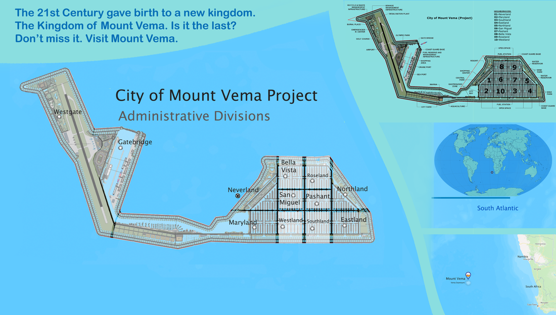
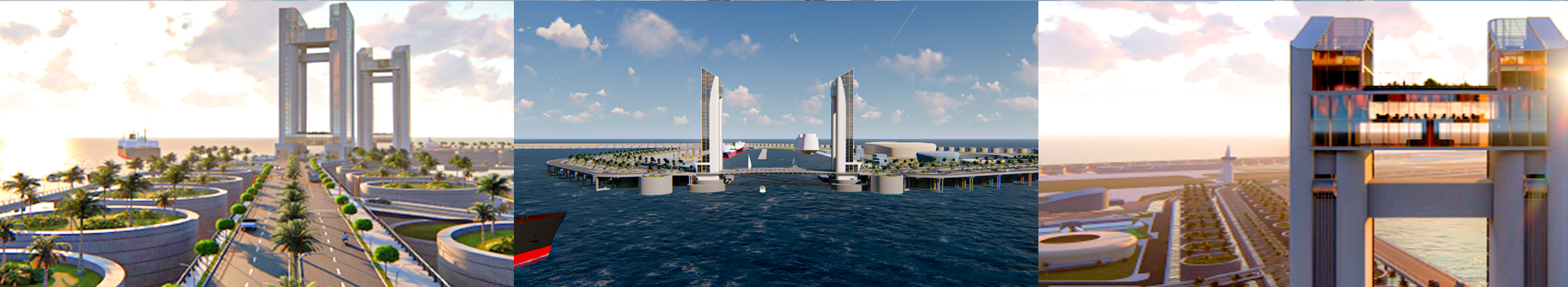
Área: La cima en forma de meseta de la montaña submarina tiene aproximadamente 14 kilómetros de diámetro, con el pico más alto ubicado en el flanco sur de la isla. Sin embargo, el diámetro medio de la base del país es de unos 60 kilómetros.
Terreno: alrededor del 5 % del terreno se recuperará como parte de la red de barreras de hormigón para proteger la ciudad flotante y las infraestructuras clave de la fuerza destructiva del viento y las olas del Atlántico Sur.
Superficie - Comparativa: La ciudad flotante del Monte Vema tendrá unos 8,73 kilómetros cuadrados. Será más grande que otros pequeños estados soberanos como la Ciudad del Vaticano de la Santa Sede o el Principado de Mónaco. Pero si se incluyen sus aguas territoriales (200 millas náuticas), el Monte Vema también es más grande que la República de San Marino o el Principado de Liechtenstein.
No weapon formed against you shall prosper, And every tongue which rises against you in judgment you shall condemn. This is the heritage of the servants of the LORD, "And their righteousness is from Me," Says the LORD. Isaiah 54:17
MOUNT VEMA
17 YEARS OF ROYAL HISTORY
Home | Contact | News | Banking | Currency | Shopping | Freight | Travel | Jobs | Real Estate | Weather | Search | 912 Emergencies | LOG IN


The Legal Entities of Mount Vema

|
COUNTRY
|
COUNTRY CODE
COUNTRY CODES IN USE Mount Vema Country Code: OV / MOV Mount Vema Numeric Country Code: 507 Currency Code: VSG Top-Level Domain: .com, and .ov (proposed) Proposed Telephone Country Code: +294 |
|
International Treaties – Ratified by the Kingdom of Mount Vema
Law of the Sea Treaty (United Nations Convention on the Law of the Sea) MARPOL 73/78 (Convention for the Prevention of Pollution from Ships) The Vienna Convention on Diplomatic Relations of 1961 The Vienna Convention on Consular Relations 1963 |
State Alert! – Security, Public Safety and Emergencies
YELLOW WARNING official advise to be aware. >>>
AMBER WARNING official advise to be prepared. >>>
RED WARNING official advise to take action as instructed by the emergency services. >>>
AMBER WARNING official advise to be prepared. >>>
RED WARNING official advise to take action as instructed by the emergency services. >>>